
Danube-ADAPT Project unveils climate risk map for the Czech Republic
In a significant step towards a climate-resilient future, the international Danube-ADAPT project has announced a key milestone: the completion of a comprehensive Climate Risk Map for the Czech Republic. This vital tool is designed to inform and guide national and local strategies for adapting to the impacts of climate change.
The map was developed by the Czech Smart City Cluster (CSCC) in close collaboration with the Global Change Research Institute of the Czech Academy of Sciences (CzechGlobe). It stands as a central output of the “Danube-ADAPT – Enhancing Climate Data Cooperation for Evidence-based Adaptation Policy Making in the Danube Region” project, which is funded by the Interreg Danube programme.
Climate Adaptation
The overarching aim of Danube-ADAPT is to strengthen climate change adaptation capacities across the Danube Region. The project focuses on fostering data-driven decision-making by providing policymakers with advanced digital tools and harmonized climate data. This empowers governments at all levels to develop evidence-based adaptation policies, ultimately enhancing the region’s resilience to climate threats.
As a key partner in the consortium, the Czech Smart City Cluster is playing a pivotal role in achieving this mission. CSCC is leading the IT development of the project’s cornerstone output: the Danube Region Adaptation Support Policy Platform. This innovative online platform will serve as a central hub, providing stakeholders with easy access to crucial data on climate vulnerabilities, best practices, and adaptation strategies, thereby supporting more effective strategic planning.
“The development of the Climate Risk Map for the Czech Republic is a concrete example of how international cooperation can yield tangible results for our country,” said a representative of CSCC. “By translating complex climate data into an accessible format, we are providing mayors, regional governors, and national policymakers with the knowledge they need to build safer and more sustainable communities.”
Pilot testing
Beyond the map and the platform, the Czech team’s involvement extends to pilot testing new methodologies and leading awareness-raising activities. These efforts are crucial for ensuring that the project’s findings are successfully integrated into local, regional, and national policy frameworks.
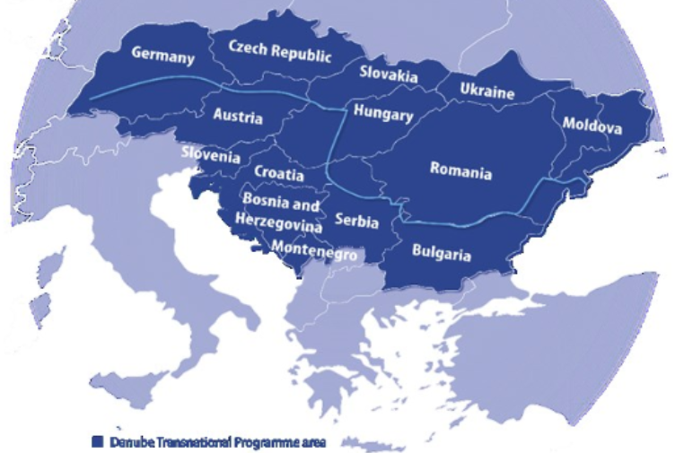
The strength of the Danube-ADAPT project lies in its powerful consortium of 16 partners, bringing together a unique mix of meteorological services, research institutions, regional agencies, and implementation partners from across the Danube Region. This diverse collaboration ensures that the solutions developed are not only scientifically robust but also practical and tailored to the needs of end-users.
The completion of the Climate Risk Map marks a critical advancement in the Czech Republic’s preparedness for climate change. It paves the way for more targeted investments, smarter urban planning, and a proactive approach to safeguarding citizens, infrastructure, and the economy from climate-related risks.
For more information about the Danube-ADAPT project and to follow the development of the Policy Platform, please visit the official website.
About Interreg Danube: The Interreg Danube Programme supports transnational cooperation projects across 14 countries in the Danube Region to address common challenges and find innovative solutions in areas such as innovation, environment, culture, and transport.project and to view the new interactive map, please visit the official website
About UTA Partner Czech Smart City Cluster
